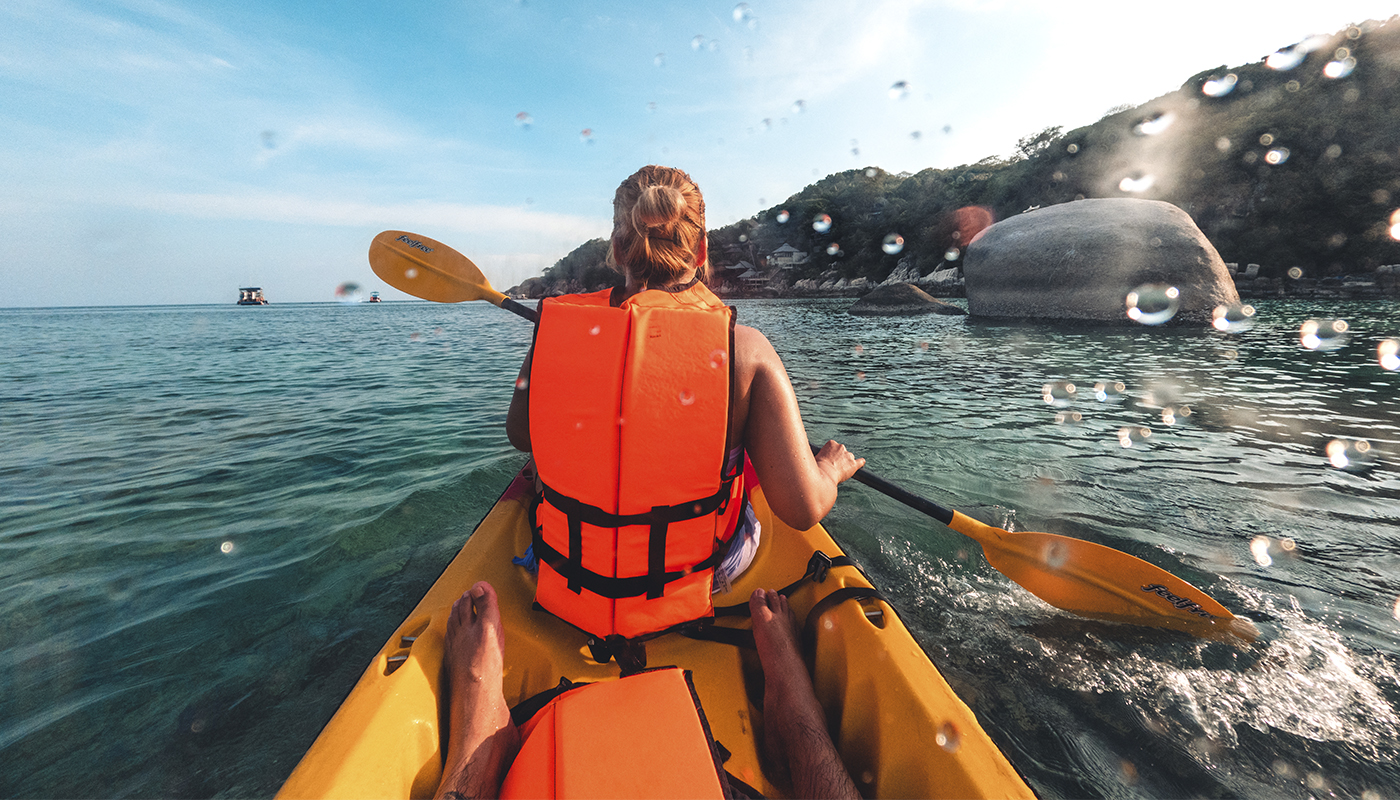
A journey down Carmans River gives paddlers a quiet view of Long Island water, wetlands, forest, and open tidal areas near Brookhaven. Carmans River can feel surprisingly wild for a place not far from a large metropolitan region. The lower river is the easiest part to plan, but tide, wind, bridges, launch access, and the return trip all need some attention before going on the water.
Starting a Journey Down Carmans River
The lower Carmans River is a useful section for paddlers who want calm scenery but still need to think about tidal conditions. Much of the route passes through protected land around Wertheim National Wildlife Refuge. Marshes and oak and pine forest stay visible along the river, so houses and heavy development do not cover every part of the shore.
There are two practical launch areas for the lower river. One is near 2979 Montauk Highway in Brookhaven, at the property long used for canoe and kayak activity. The site has a comfortable launch area, parking, and public bathrooms. The paddling business that worked there for many years closed in 2024, but the launch location and parking remained accessible at that time.
The second access point is at the end of Beaver Dam Road. It is a small public area where parking is available along the road. This launch can be useful for people who want to stay on the lower section and avoid the lowest bridge farther upriver. The floating dock there can feel awkward for entering or leaving a kayak, so slow movement and good balance are useful. On a river, small details can matter more than first expected.
Choosing the Better Launch
Choice of launch depends on distance, tide, and how much of the river a paddler wants to cover. Starting near Montauk Highway gives access to a longer section, while Beaver Dam Road allows a shorter outing closer to Bellport Bay. A beginner may prefer a simpler route when the wind is light and the tide does not make difficult conditions.
Before carrying a boat to the water, it makes sense to look at the dock, shoreline, current, and available place for landing. A launch that seems easy from the parking area can feel different when water level changes.
Bridges, Tide, and River Conditions
Between Bellport Bay and the upriver area near Montauk Highway, paddlers pass under three bridges. Most are normal obstacles, but one bridge inside the refuge is very low. At high spring tide, especially around new and full moon periods, the space under it can become minimal.
A kayak may pass when a paddler leans very low over the deck, but clearance can become uncomfortable and unsafe. Canoes can have even more difficulty because the seating position is higher. For this reason, tide level should be checked before choosing a route that passes this bridge. When clearance looks doubtful, turning back is the safer option.
The river is tidal in the lower section, but wind can matter as much as, or even more than, current. A calm trip in one direction does not mean the return will be equally easy. If wind increases and blows against the paddler, the final part of the outing can require much more effort.
Useful checks before departure include:
- Tide level and expected change during the trip
- Wind direction and strength for the return route
- Clearance under the low bridge
- Parking and launch access at the chosen starting point
- Personal ability to paddle the full distance back
- Weather changes expected during the planned hours
These points are simple, but they can change the whole character of the outing. Carmans River is not a difficult whitewater route, yet tidal water and narrow access points still require normal paddling judgment.
What the Lower River Feels Like
The lower river has a mix of narrow water, marsh edges, wooded banks, and more open areas toward Bellport Bay. Wildlife habitat around the refuge gives the trip a quieter feeling than many developed Long Island waterways. A paddler can move from enclosed river scenery into wider tidal water during one outing.
This change also means conditions do not stay the same. Sheltered sections may have little wind, while open water can expose the kayak more strongly. Looking ahead at water is useful because ripples, waves, and moving grass can show how wind is changing before it becomes difficult.
Upper Carmans River and Route Differences
The river above Route 27 is also possible to paddle in some conditions, but it is not the same kind of trip as the lower section. Water can become shallow, and several dams may require paddlers to leave the water and carry boats around obstacles. That makes the upper river less simple for a casual first visit.
For many visitors, the lower river gives the clearest introduction. It offers public access, broad natural scenery, and enough variation to make the route interesting without requiring regular carries around dams. Still, it should not be treated like a closed pond. Tide, bridge clearance, wind, and open water near the bay remain part of the route.
Planning the Return Journey
Unless two vehicles are used for a one–way trip, a paddler normally must return to the starting point. This is an important detail on Carmans River because wind direction may make the second half harder than the first. Saving energy is better than paddling quickly at the start.
A practical pace leaves enough strength for wind, small waves, or longer return than expected. Drinking water, sun protection, a properly fitted personal flotation device, and a phone kept in a waterproof case are sensible equipment. Clothing also should match water temperature, not only air temperature.
The journey down Carmans River is mainly about quiet paddling through protected tidal scenery, but preparation makes that quiet trip work better. Choosing a suitable launch, understanding the bridge problem, checking tide and wind, and keeping enough energy for the return can turn the river into a comfortable day route rather than an unexpected struggle.